
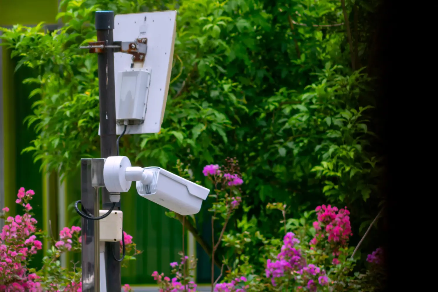
● Provides security solutions for secu CCTV setups for urban and rural areas.
● End-to-end setup of security & surveillance systems.
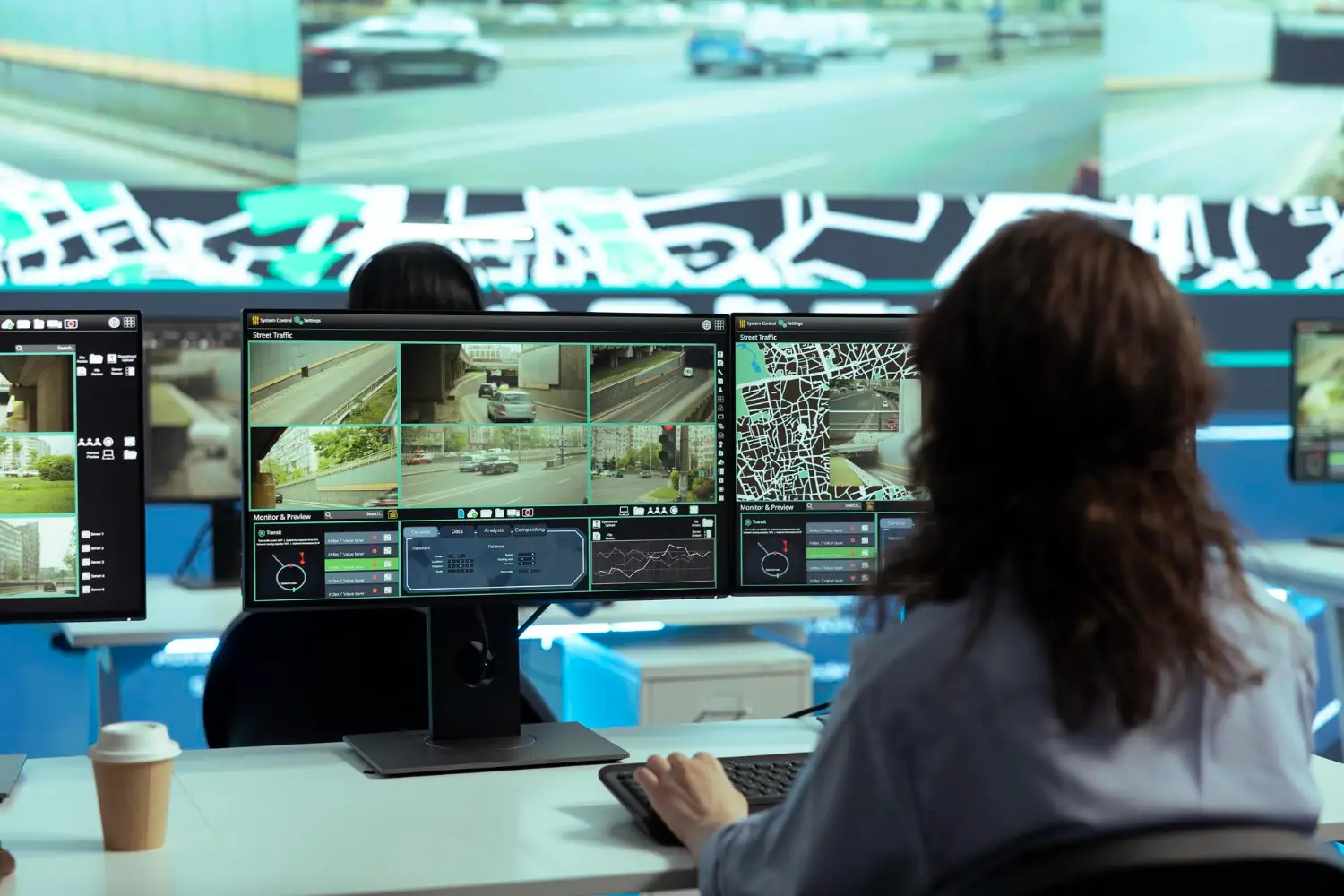
● Specialise in indoor/outdoor highresolution, WDR, and lowlight cameras.
● Comprehensive infrastructure for control rooms and networking Solutions
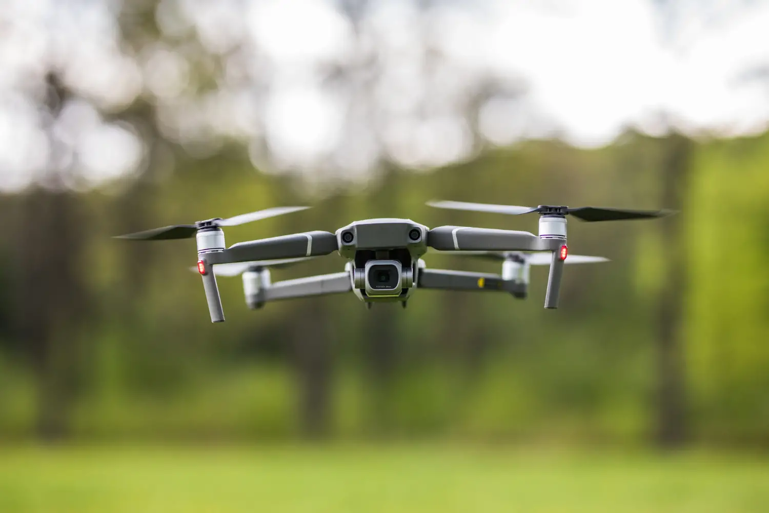
● Sicurezza provides advanced aerial dronebased solutions for precise aerial surveys and inspections.

Our Startup is Pioneering the use of AI-Led ,Cutting edge video surveillence technology to safeguard forest and Mangroves .Our platform is designed to detect, deter, and document encroachments in mangrove region with unparalled precision and real-time responsivness
By leveraging advanced artificial intelligence,drone integration,and intelligent video analytics,we provide an automated,scalable and efficient solution that empowres authorities,environmentalists,and polymakers to take protective measures in mangrove protection
We are not just building a tech company - we are creating a smart conservation movement. our commitment is clear : protecting mangroves today to secure a sustainable tomorrow
Empowering ecosystems
Sicurezza and Cerekon Alliance
Unlock the full potential of your biodiversity operations & monitoring with our cutting-edge Computer Vision Services and scalable security systems for CCTV, drones and UAV’s. Our integrated AI-driven solutions deliver real-time insights from visual data, enhancing productivity, automating quality control, and improving safety across complex environments. With flexible models, clients can scale services based on need, ensuring agility, cost-efficiency, and expert support precisely when and where it’s required. Partner with Cerekon and Sicurezza to transform vision into action—on your terms.
About Us
Cerekon is a Singapore-based Industrial AI solution provider with investment from the Government of Singapore. In 2019, Cerekon was featured by CNBC and Swiss TV for its innovations in the supply chain and maritime sectors. We specialise in providing Industrial AI solutions for rural, urban and conservation use cases. Sicurezza Technology, India provides end-to-end security solutions for CCTV , control room setups and drone-based solutions for aerial surveys and inspections across industries.
Vision
Our mission is to empower public & private enterprises to aid in day-to-day conservation and prevent encroachment & intrusion more efficiently, safely, and intelligently by integrating AI and video analytics into everyday processes. By combining security infrastructure machine learning, computer vision, and cloud computing, we create intuitive, scalable, and robust systems that address the most pressing challenges industrial operations face today
Sicurezza
01. Comprehensive, Integrated Solution Offering
● End-to-End System: Complete hardware-to-software surveillanc
● Seamless Integration: Ensures top performance and compatibility
● Scalable Platform: Adapts to urban and remote needs.
02 Enhanced Detection & Operational Performance
● End-to-End System: Complete hardware-to-software surveillanc
● Seamless Integration: Ensures top performance and compatibility
● Scalable Platform: Adapts to urban and remote needs.
03 Enhanced Security & Risk Mitigation
● Early Threat Detection: Identifies risks quickly with integrated tech
● Full Coverage: Monitors all terrains effectively.
● Decisive Response: Delivers reliable data for fast action.
04 Streamlined Development & Delivery
● Fast Innovation: Co-develops solutions quickly with expert input
●Efficient Delivery: Speeds up setup and deployment.
● Resource Optimization: Boosts operational efficiency.
Key AI capabilities
Real-time Video Analytics & Threat Detection
AI-powered Detection:
The ability to automatically detect and classify various activities or threats in real-time, such as unusual movement, trespassing, loitering
Face Recognition & Object Detection:
World-class systems use deep learning algorithms to identify individuals based on facial features, and objects even under poor lighting or angles
Behavioral Analysis:
Systems can detect abnormal behavior, like people running, crowd formation, or other unusual activities
State of the art hardware
High-Res Cameras with Wide Dynamic Range
Ultra-high-definition Cameras:
The integration of 4K or even 8K resolution cameras ensures crystalclear imagery. AI algorithms can better process high-res footage
WDR Technology:
WDR (Wide Dynamic Range) cameras are crucial for managing challenging lighting conditions
Low Light & Night Vision
AI video surveillance systems often pair with advanced sensors for enhanced performance in low-light environments
Data and Infrastructure
Edge Computing, Cloud Integration & World Class Equipments
Edge AI Processing:
Use of edge computing, which allows AI algorithms to process video feeds to reduce latency with scalable cloud integration.
Data Security:
Ensuring video data is encrypted both at rest and in transit is essential for top-tier surveillance systems.
Infrastructure and Equipment:
We provide world class implementation techniques, in setting up a Surveillance Control room, cabling, network and wifi, Server’s, routers and power supply.
Conservation challenges
20%
A 2015 study estimated 15-20% of mangroves and wetlands were lost in Mumbai and nearby areas over five years since 2010 due to dumping, encroachment, and illegal construction.
97 fires
Frequent, often manmade, causing widespread destruction. 97 large fires in Maharashtra as of Feb 2025 (Forest Survey of India).
575 sq.km
Forest Encroachment: Illegal occupation for agriculture or settlements. 575.54 sq km of forest land encroached in Maharashtra As of March 2024 .
1.3 mil
Illegal Logging: Illicit tree felling for timber and fuelwood. 1.3 million trees illegally cut between 2005-2012; 1600 acres destroyed in Konkan (2014-2019 reports).
AI based surveillance outcomes
Mangrove Degradation
AI-powered drones and land cameras continuously monitor coastal areas. AI analyzes imagery for new debris, structures, or changes in mangrove cover, alerting authorities to illegal dumping and reclamation.
Forest Fires
AI-integrated thermal and visual cameras on drones and towers enable early detection of heat signatures or smoke. AI helps predict fire spread and assess postfire damage, aiding rapid response
Forest Encroachment
UAV & Drones provide regular imagery for AI to detect new clearings, structures, or agricultural expansion. Land cameras offer perimeter intrusion detection, automatically flagging unauthorized entry.
Illegal Movement:
AI tracks suspicious movements, providing real-time alerts for illicit movement of vehicles and people. License plate reading abilities of AI helps maintain security and conservation efforts.
Project Approach
Planning & Solution Architecture
Conduct survey of the site & locations
Define conservation goals & threat assessment
Select appropriate camera (CCTV, drone
Design network infrastructure & control room layou
Determine specific AI detection requirements.
Infrastructure Deployment & Data Acquisition
Install CCTV networks & robust communication links
Set up central control room hardware & systems
Implement drone flight and data capture protocols.
Establish secure data ingestion channels.
AI Model Development & Analytics Integration
Add a brief description here that provides more information about this topic.
Train AI models for environmental -specific detections.
Integrate AI algorithms with live video feeds.
Enable real-time processing and intelligent alert generation
Calibrate and refine AI for optimal performance.
Operational Management, Monitoring & Adaptive Response
Continuous monitoring and AI alert verification.
Efficient dispatch of response teams.
Ongoing system maintenance and AI model retraining
Long-term data analysis for trend identification.
BiodAIverse
AI for ecosystem monitoring & Surveillance
Real-time surveillance using integrated CCTV, drone, and aerial imagery.
AI-powered detection and analysis for ecological threat monitoring.
Instant alerts, analytics for proactive prevention of encroachments and echo system protection.
AI for Conservation
According to UN Food & Agriculture organisation, India had the 2nd highest rate of deforestation globally between 2015 - 2020, losing about 668,000 hectares of forest per year
Cerekon and Sicurezza have teamed up in a strategic joint venture to tackle the growing biodiversity crisis threatening our planet’s most crucial ecosystems.
By merging our cutting-edge surveillance and security expertise—utilising CCTV, drones, and UAVs—with our proficiency in AI and video analytics, this partnership seeks to provide powerful, real-time environmental intelligence. Moreover, our AI solutions can safeguard biodiverse environments by optimising traffic management, enhancing license plate recognition, Control room monitoring and delivering real-time alerts for better city mobility.
This facilitates automated monitoring, early detection of illegal activities, and predictive insights to enable governments, conservationists, and stakeholders to intervene more swiftly and maintain the natural balance
AI-Driven Ecological Protection
India has lost 13000 sq km of forest to encroachment, threatening biodiversity, water security, and climate goals
Our purpose-built intelligent AI systems can be tailored to detect and analyse encroachment threats in ecologically sensitive zones such as forests and wetlands. Even in unmanned road and entry/exit points inside forest areas, AI provides a vigilant eye
By integrating advanced computer vision with live land CCTV, aerial modes using drones and UAVs, and other aerial imagery, we enable real-time monitoring of protected areas—identifying unauthorised access, habitat disruption, and boundary violations as they happen. We gain the ability to track the dynamic boundaries and vegetation density of forest areas by combining AI with LiDAR & spectroscopy technology.
The system instantly alerts forest officials & conservation teams, helping prevent illegal activities such as land grabbing, deforestation, and encampments. With high accuracy & minimal human input, the system ensures continuous surveillance before escalation.